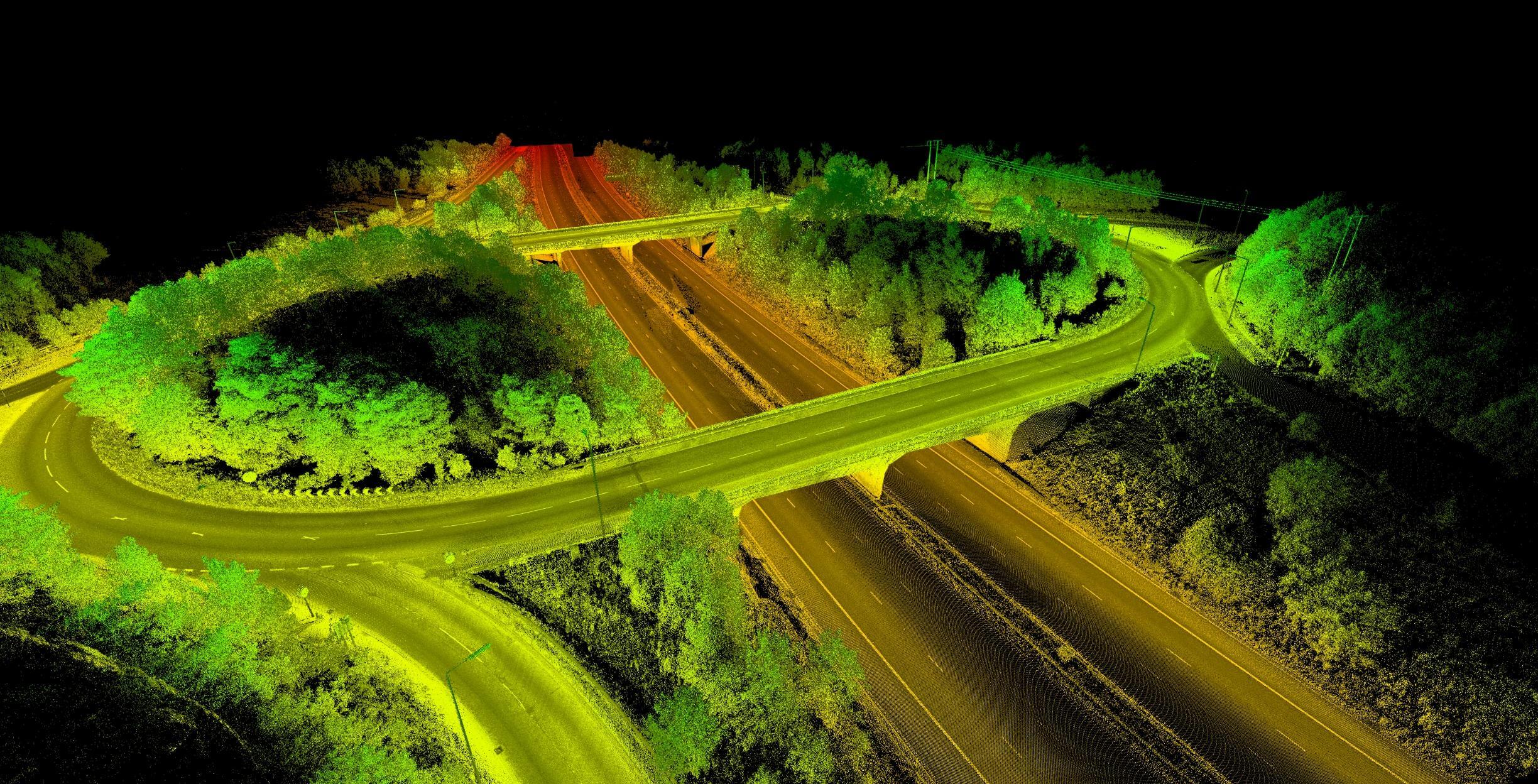
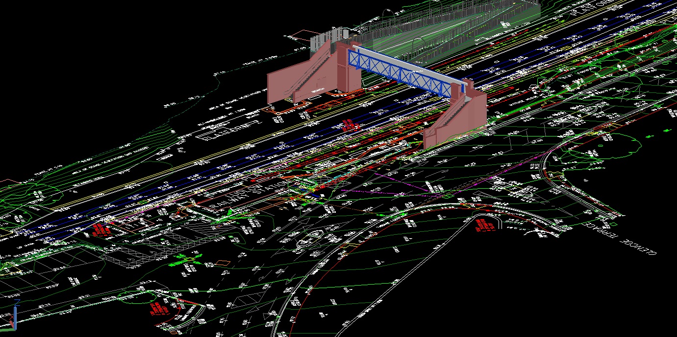
Our well trained operators can help you with your projects be it a Classification or Mapping project(Road and Railway), weather you require a generalised vector mapping or a detailed mapping we can do it all. Our mapping and classification team can assure you to provide accurate topographic data with elevation points, 3D Polyline, Contour as well as 2D features as per customised requirement.
- Advanced Classification
- Advanced 3D Mapping
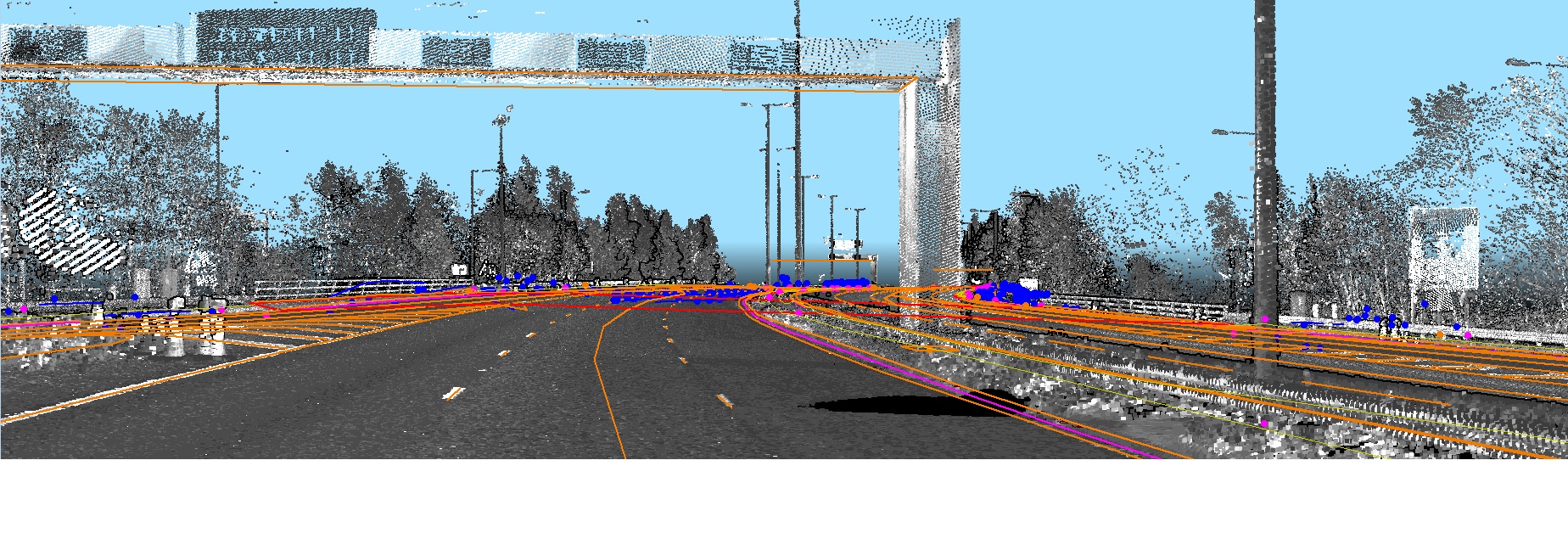
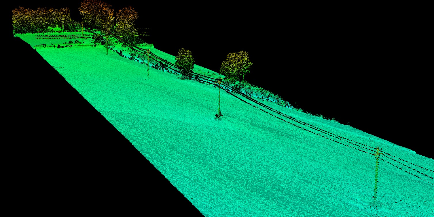
- Power Line Classification
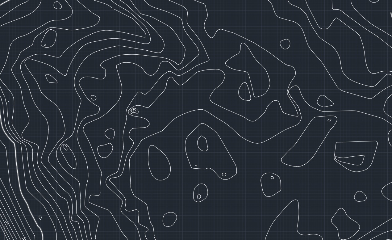
- Contours
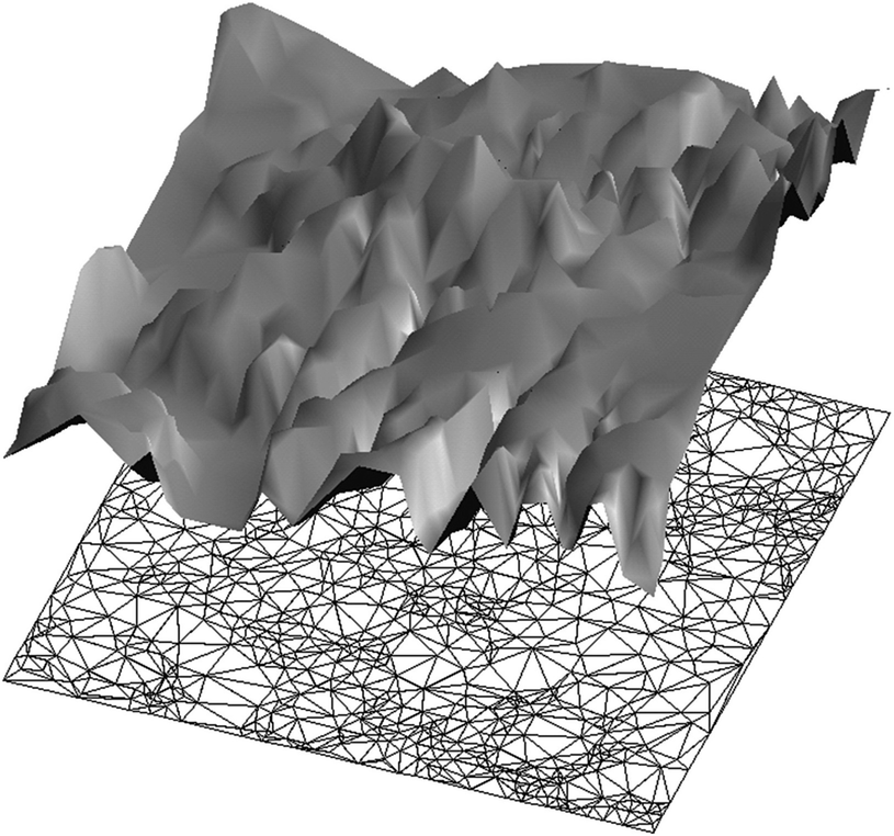
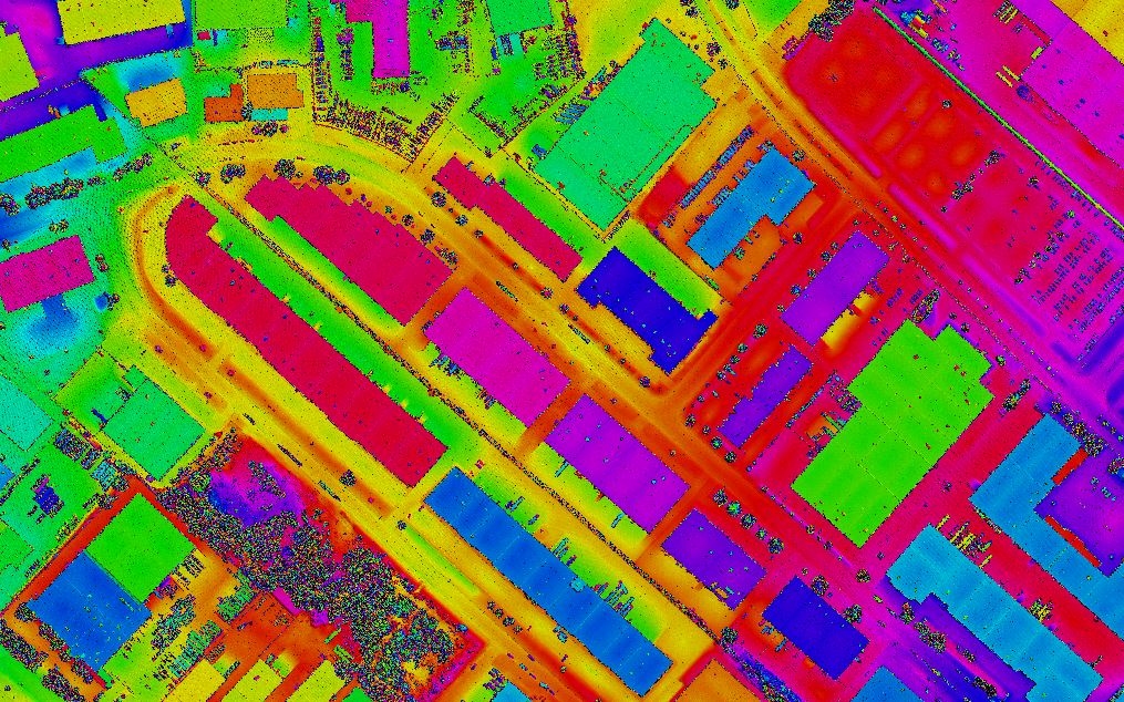
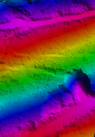
- Digital Surface Model
- Digital Elevation Model
- Complete topographic Mapping