Photogrammetry

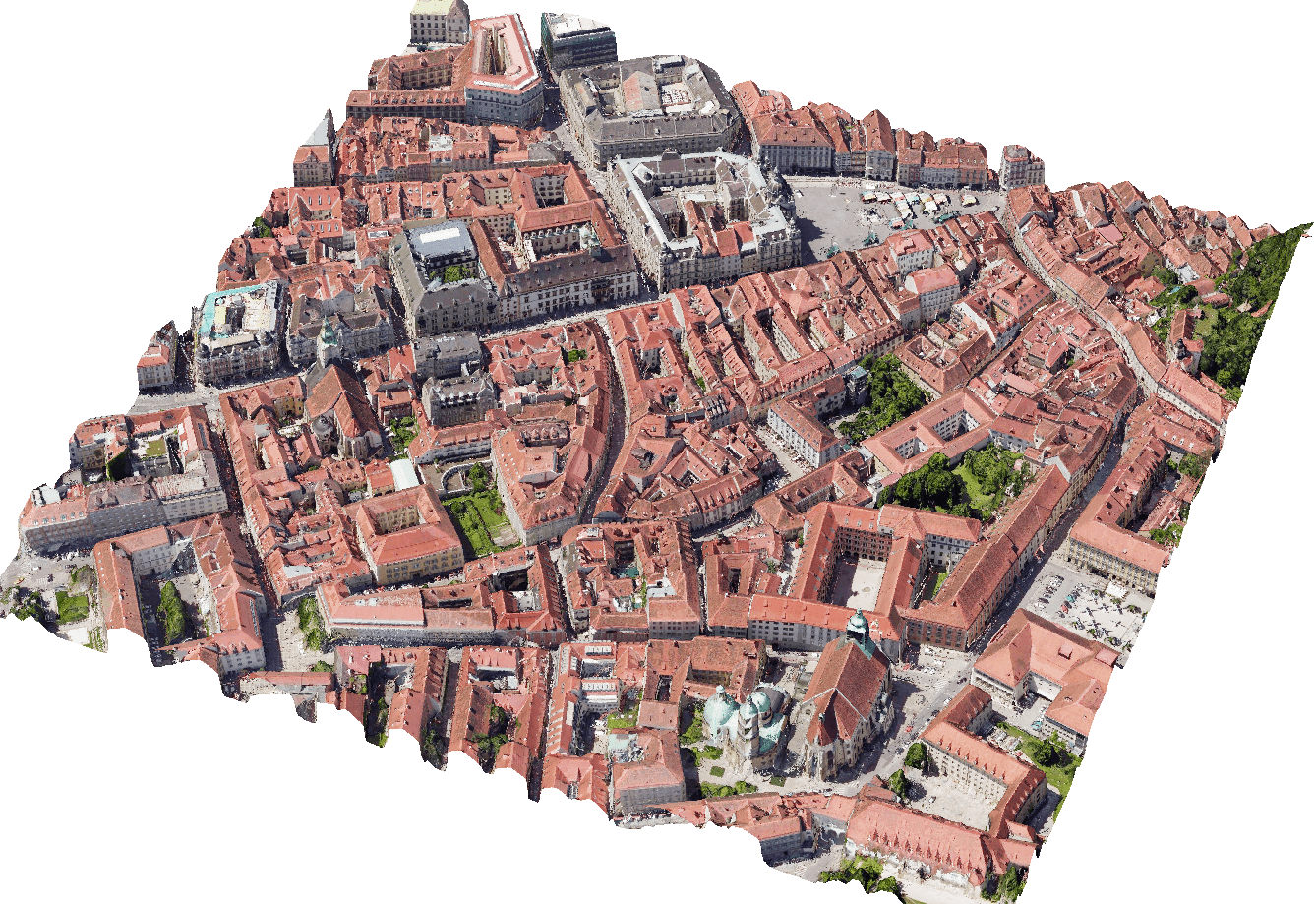
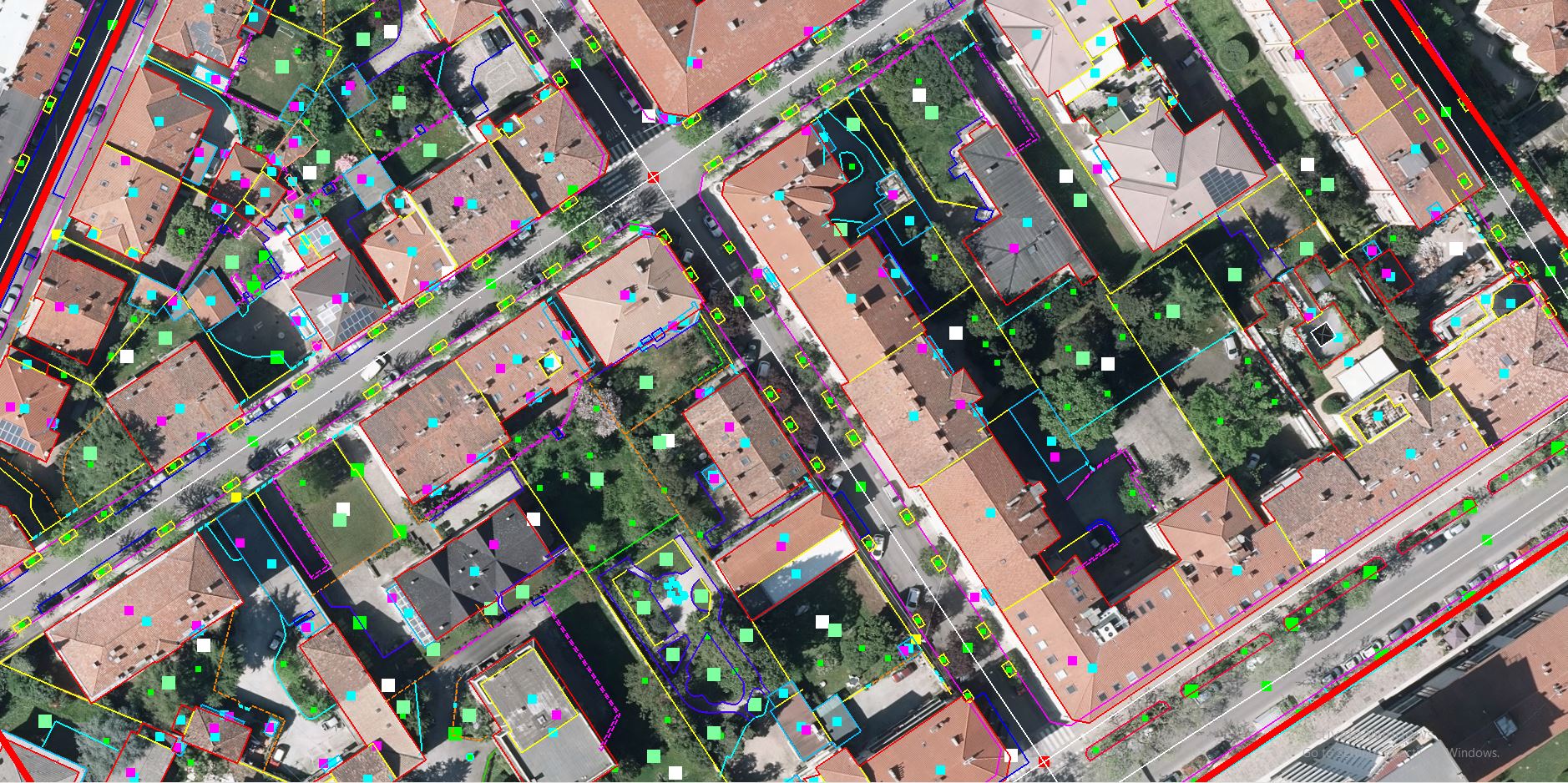
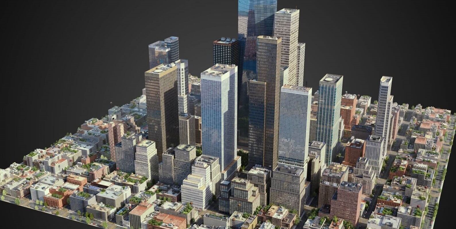
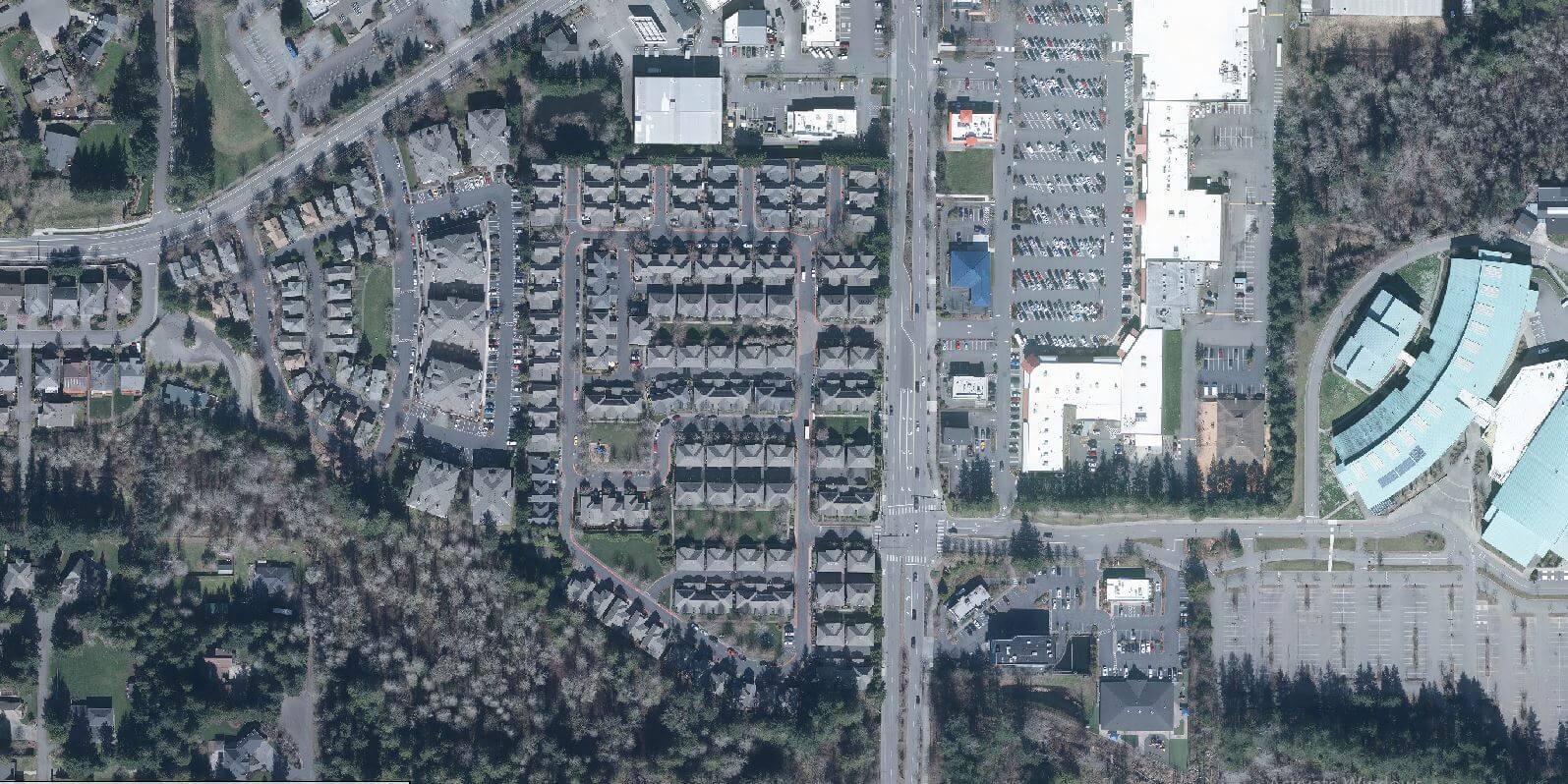
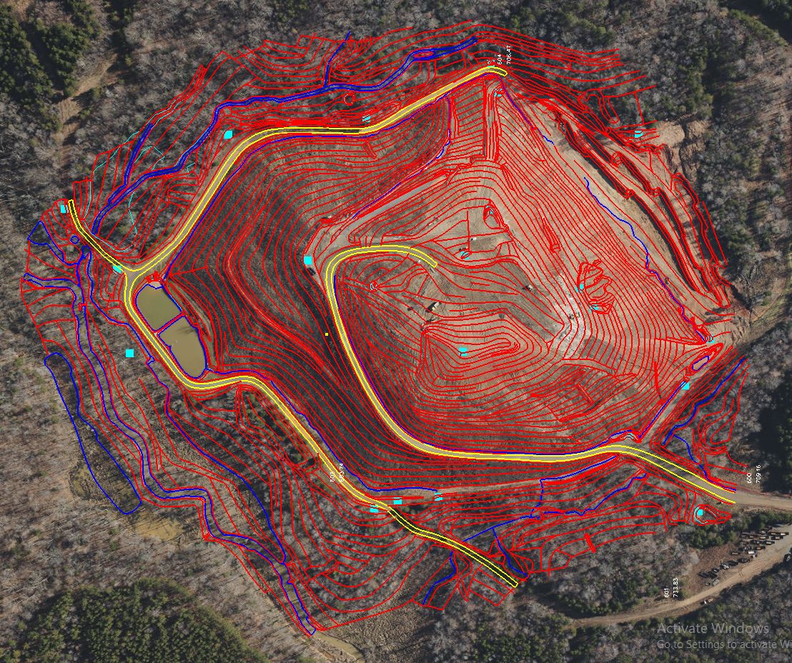
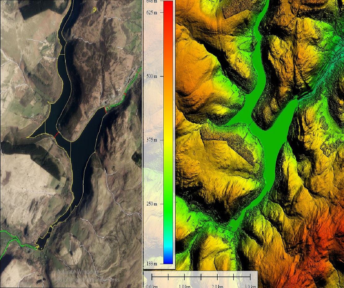
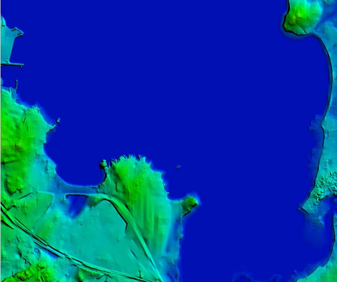
Focus has rich experience in providing high-precision imaging, measurements, and planimetric mapping using advanced 3D visualization and data processing. We also work on photogrammetric aerial cameras, satellite Images, and drone data to arrive at high-accuracy spatial data.

Some of our photogrammetry solutions

  • Digital Elevation Modelling.
  • Planimetric Collection
  • Contour Generation
  • Digital Surface Modelling
  • 3D City Models
  • Aerial Triangulation
  • Orthophoto
Reach us out for a free imaging sample or to find what’s best for your project.
Photogrammetry Services
null

Plannimetric data collection

Get the most efficient, accurate, and aesthetically pleasing planimetric data for your project. No matter the area or terrain, our experienced team will deliver you a compelling virtual reproduction. Our rigorous quality checks ensure that you get only get the best results in the data format or specification of your choice.

null

3D city modeling

Our 3D city recreations using advanced photogrammetric techniques help you make informed management decisions and stunning presentations. The visualizations are perfectly recreated according to your requirements. The 3D data collected by us will give a seamless 3D city mesh models to help you set the context to any scenario or development plans.
null

Orthophoto

Scale true distances in the distortionless orthophoto rendering offered by us. We use appropriate image processing techniques to enhance and sharpen objects of interest while offsetting relief and distortions. This provides you with a seamless and accurate rendering.

Our orthophoto services also include rectification of satellite, aerial, and Drone images, Construction of orthophoto mosaics, Geo-referencing, Orthophoto color balancing, seam-line editing, and tile cutting. We also offer Orthophoto maps, True orthophoto maps, and Infrared orthophoto maps

null

Contours Generation

We exploit high-precision techniques to generate and place accurate and smooth contours. Realize and visualize elevations accurately as per your contour intervals using our contour generation services. We provide Topographic Contour Mapping, Mining Contour Mapping and Structural Contour Mapping.
null

Digital Surface Model

We create digital surface models realizing the need for niche management, planning or mitigation efforts that may be required immediately or in the future. Satellite, aerial, and survey material data are used to create an accurate 3D representation of the region of interest. Get high detailing in the rendering that will take into account the earth’s surface heights at various points, and natural and man-made objects.
null

Digital Elevation Modelling

Achieve high-quality 3D modeling, volumetric calculations, and representation of bare-earth surfaces with our digital elevation modeling services. Elevation data are captured including all of the Earth’s reliefs to help you in land-use planning, infrastructural project management, soil science, hydrology, and flow-direction studies.
null

Cost-effective prices

Our stringent planning and scheduling ensure there is no time delay. Our teams’ expertise and experience help us cut costs on reworks. This helps us maintain our competitive pricing.
null

Free Updates

We keep all our equipment and software updated to ensure the best-in-the-industry quality and security. This clubbed with our foolproof cyber hygiene delivers exceptional data security.
null

High quality

Being ISO 9001: 2015 certified we cut no corners in adhering to best practices in maintaining our infrastructure and have only the best among experts working on your projects.

Feel free to contact us for free quote