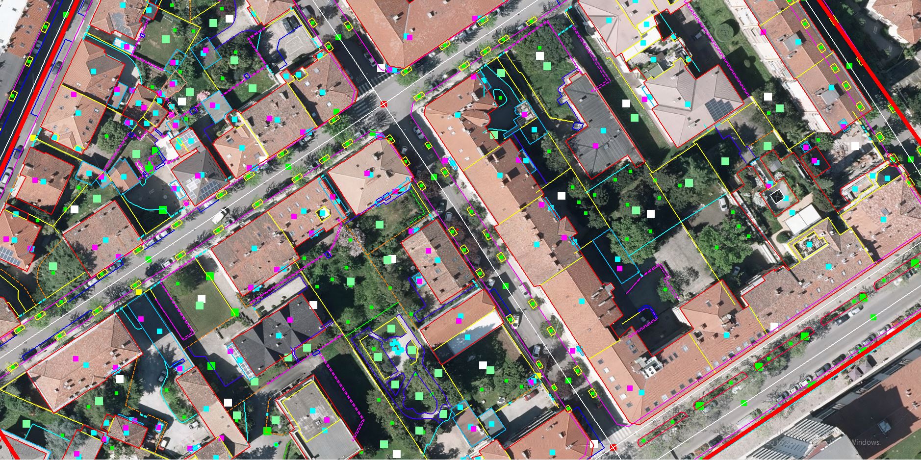
Focus has vast experience and capability of planimetric collection using advanced 3D technology and data acquired from sophisticated technology, we can help you with projects acquired from Aerial Photogrammetry Camera, Satellite Image and Drone.
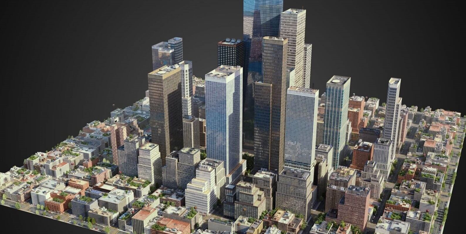
Photogrammetry is divided in different segments:
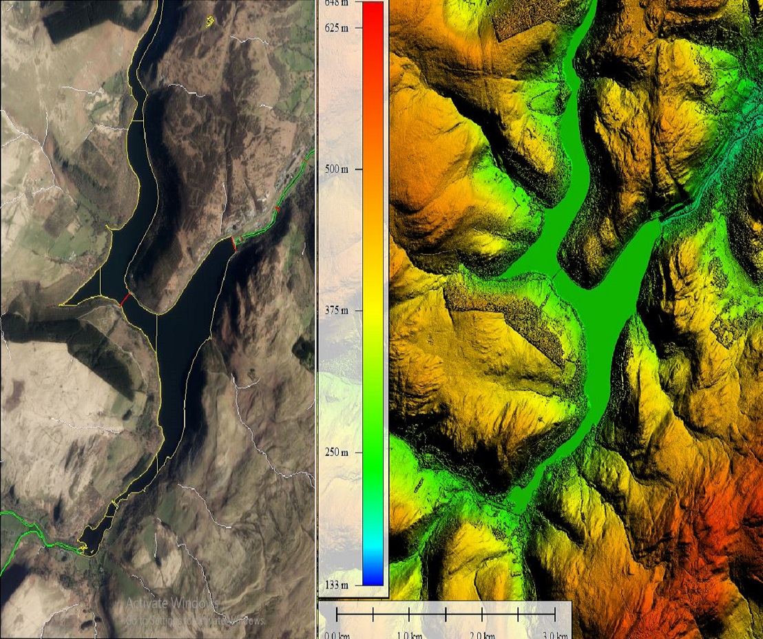
- Digital Elevation Modelling.
- Planimetric Collection
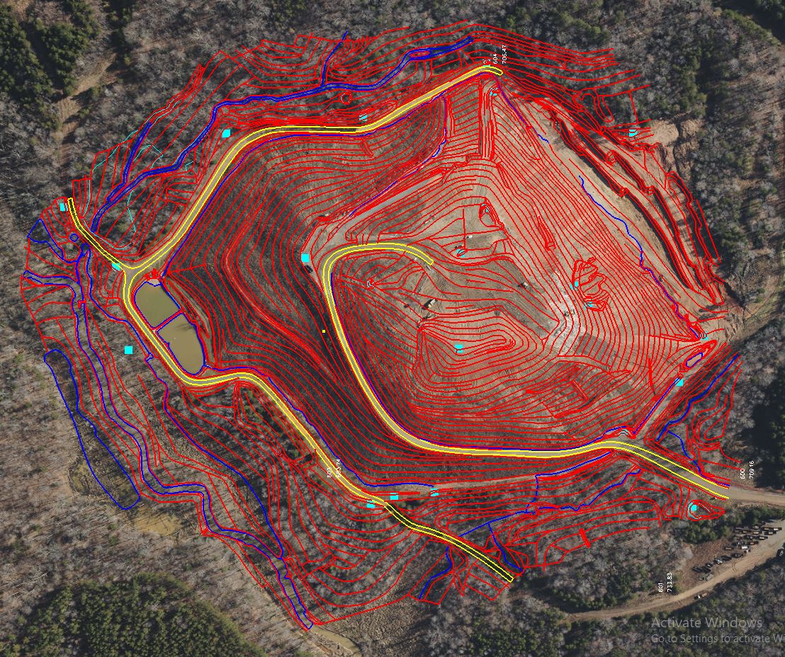
- Contour Generation
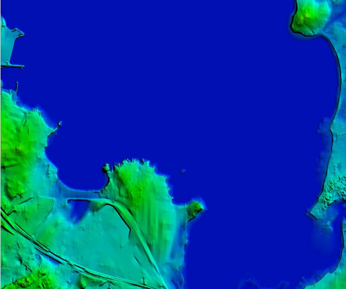
- Digital Surface Modelling
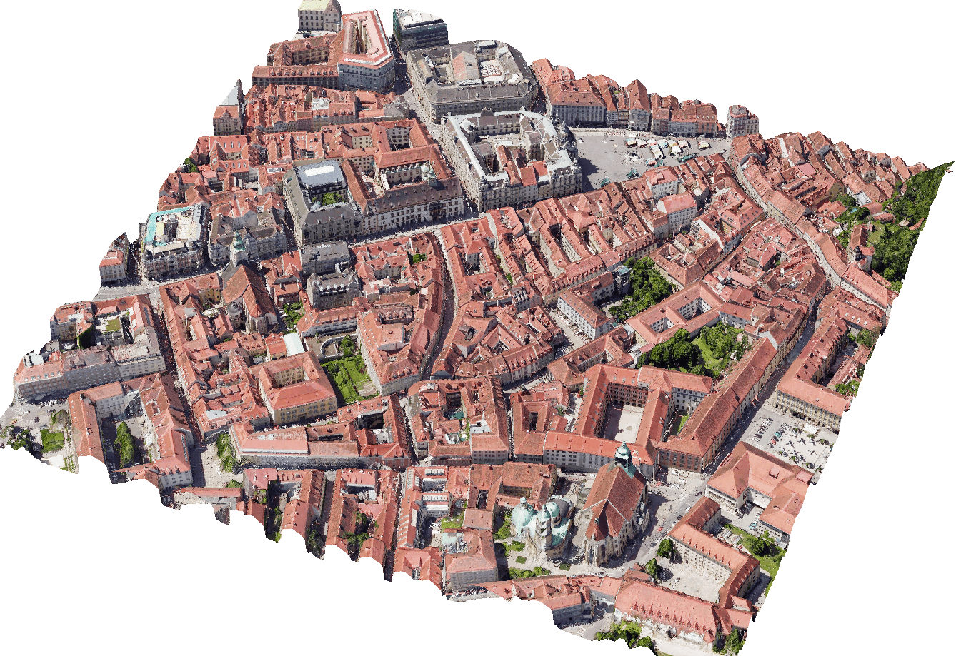
- 3D City Models
- Aerial Triangulation
- Orthophoto